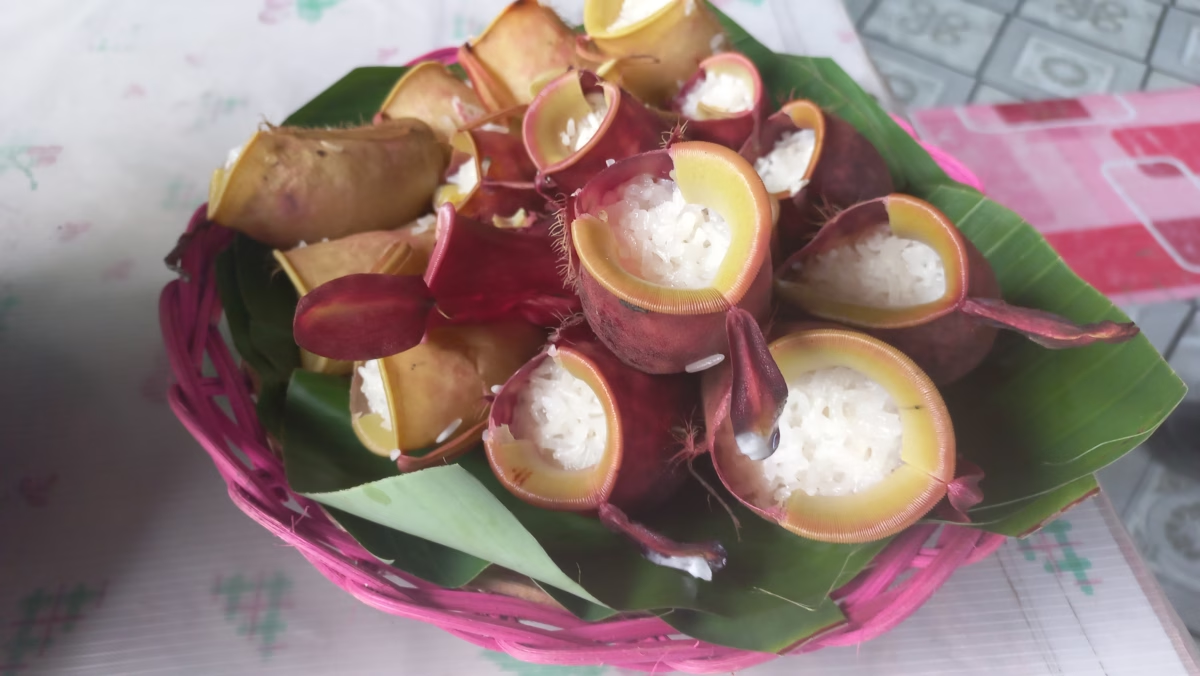
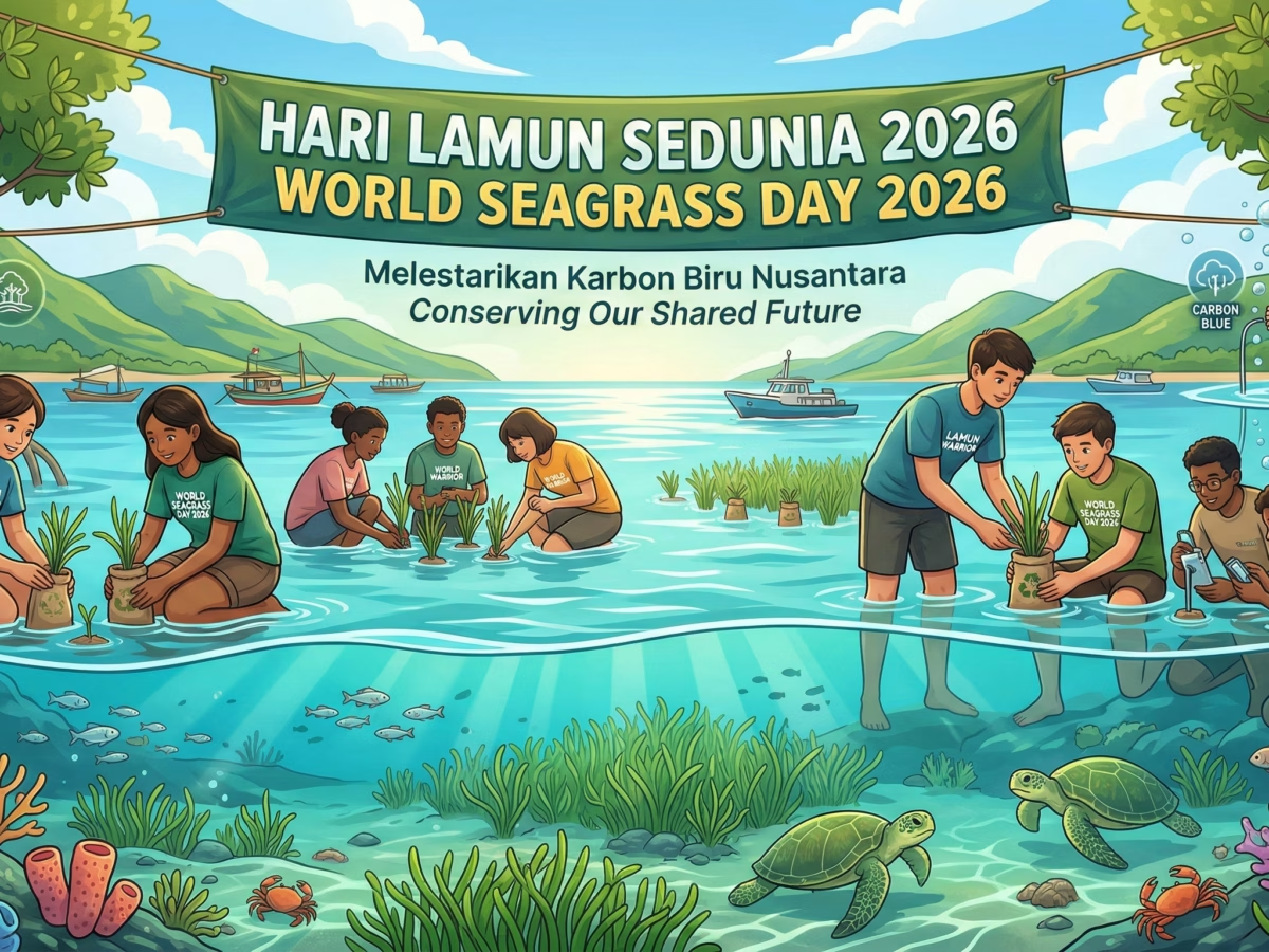
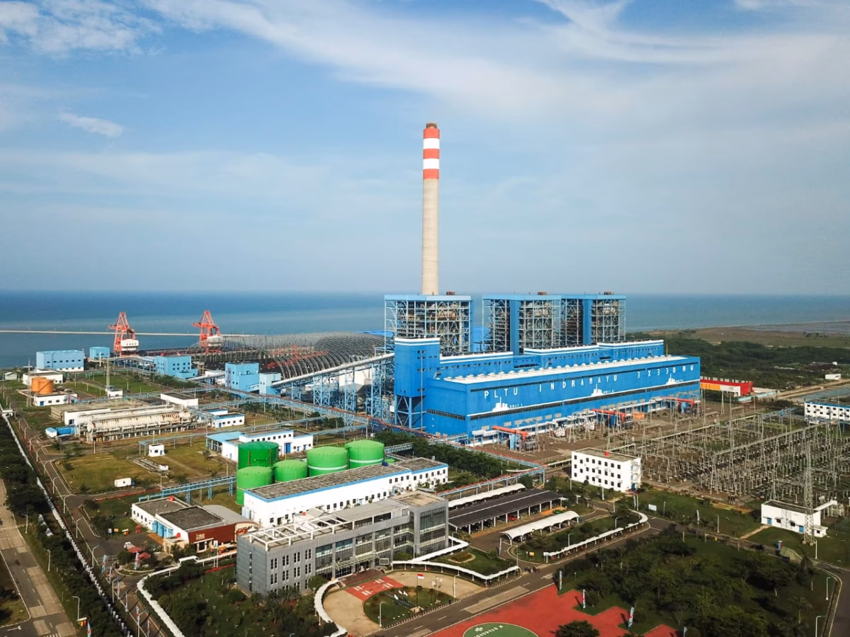
Biodiversity Traditional Dish Adds To Threats Facing Indonesia’s Carnivorous Plants March 7, 2026March 7, 2026 Ocean and maritime The Blue Carbon Paradox: Indonesia’s Ecological Gamble on World Seagrass Day 2026 March 1, 2026March 2, 2026 Energy West Java Besieged by Indonesia’s Deadliest Coal Power Plants February 28, 2026February 28, 2026
Biodiversity Traditional Dish Adds To Threats Facing Indonesia’s Carnivorous Plants March 7, 2026March 7, 2026
Ocean and maritime The Blue Carbon Paradox: Indonesia’s Ecological Gamble on World Seagrass Day 2026 March 1, 2026March 2, 2026
Energy West Java Besieged by Indonesia’s Deadliest Coal Power Plants February 28, 2026February 28, 2026
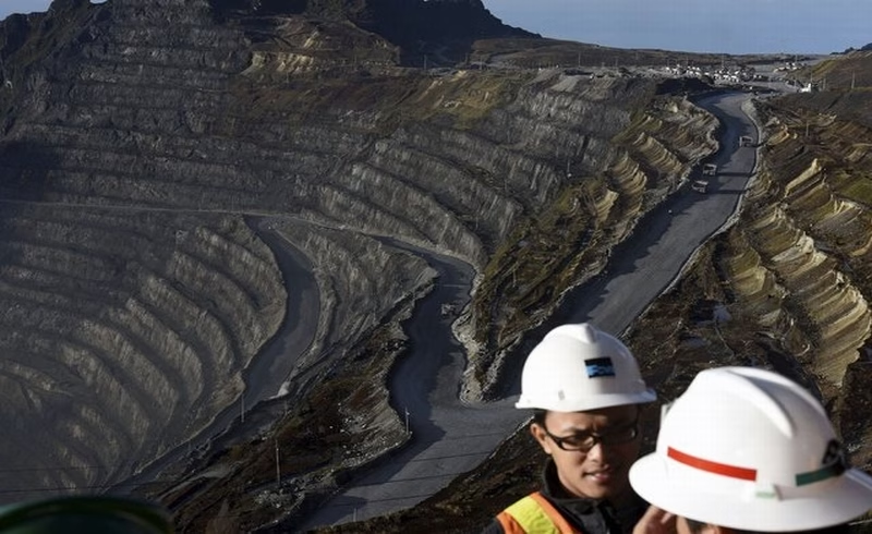
Article Environment Papua The Dark Shadow Behind the Copper Glint: Locking Papua’s Fate into Ecological Disaster The Indonesian government recently struck an agreement to extend its Memorandum of Understanding (MoU) with the American mining giant, PT...
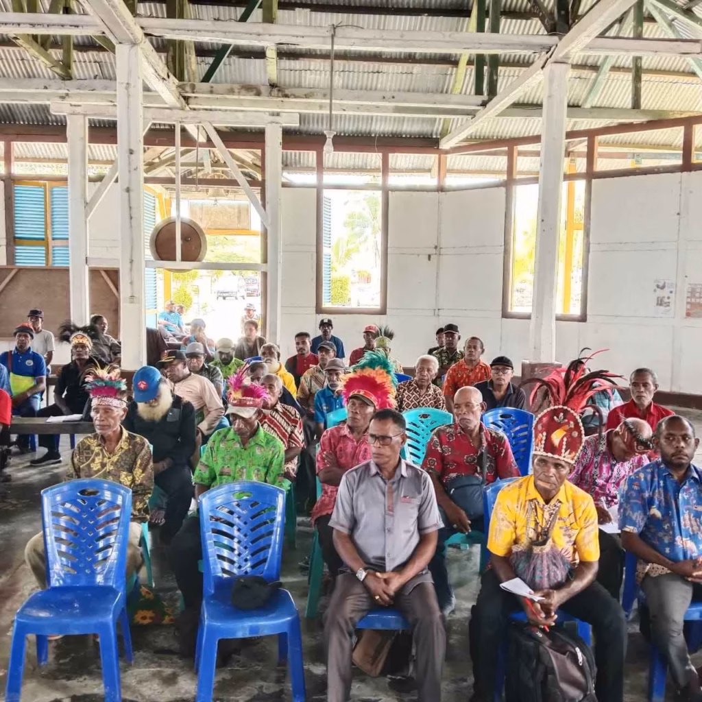
Article Environment Forests Papua Byak Indigenous People Reject Indonesian Military Base Construction on Ancestral Lands in Papua Byak indigenous leaders in Papua have rejected a planned military base on their ancestral lands, demanding respect for their customary...
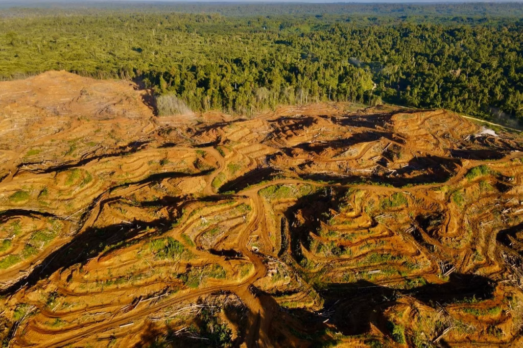
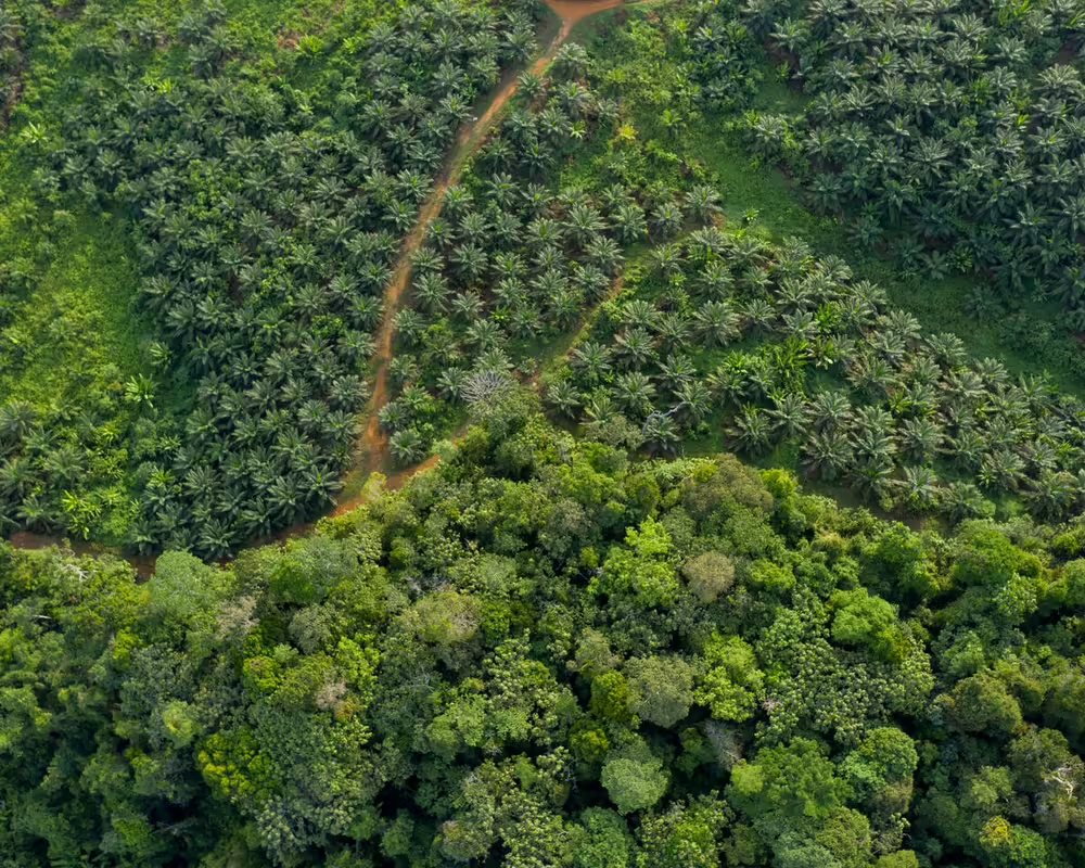
Article Forests Papua Papuan Indigenous Community Rejects Palm Oil Expansion Despite Multi-Billion Rupiah Promises Papuan Indigenous people in Sorong recently rejected a multi-billion rupiah offer from a palm oil company, choosing to protect their...
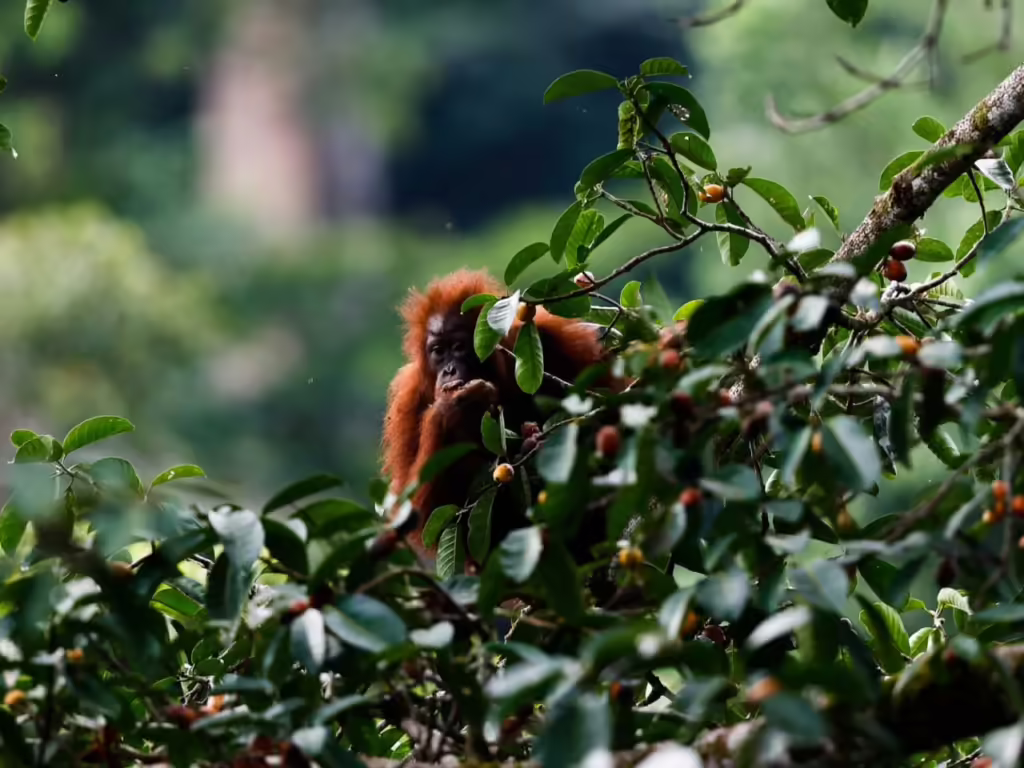
Article Biodiversity Kalimantan Learning from Orangutan Wisdom in the Wehea-Kelay Landscape, East Kalimantan Research identified 59 orangutan food plants, with over 50% having medicinal properties
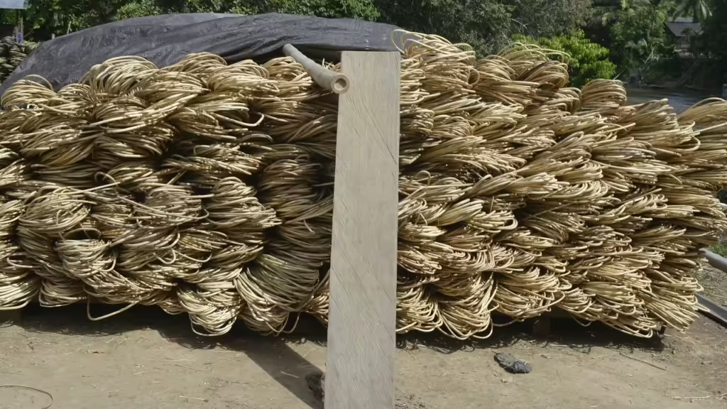
Article Kalimantan Sustainability Sustainable rattan, protecting habitat and improving the welfare of Kalimantan farmers Rattan grows in need of trees as support. Sustainable rattan provides incentives for communities to conserve and restore forests.
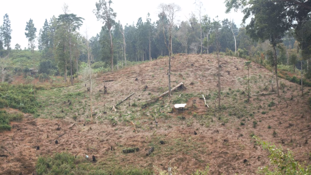
Article Forests Kalimantan Fires, encroachment and land conversion are the causes of forest loss in West Kalimantan. A strategy that prioritizes sustainable development is needed to save West Kalimantan's forests.
Article Energy Forests Java Green Illusions: The Failing Promise of Indonesia’s Biomass Energy Plantations Energy Plantations project in Sukabumi stands at a crossroads. Caught between broken factory machines, failed calliandra saplings, and the citizens'...
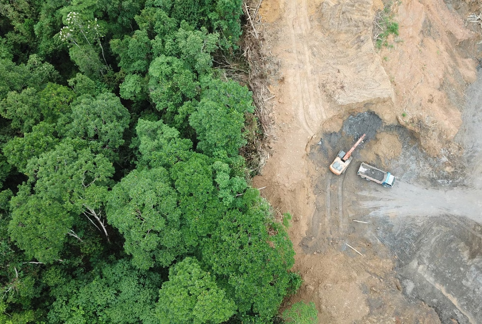
Article Forests Sumatera Sumatra’s Forests are Wounded: Restoration Requires More Than Just Permit Revocations Environmental advocates argue that the Indonesian government's revocation of 28 business permits in Sumatra is an insufficient measure that must...
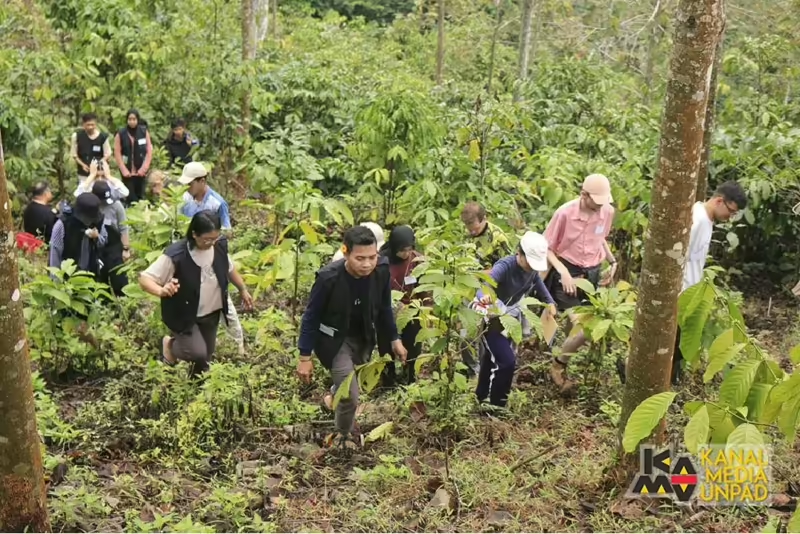
Article Forests Java Get to know forest healing to relieve stress Forest healing activities aim to introduce psychological therapy that can be used to relieve various types of psychological symptoms.
Article Forests Kalimantan Orangutan dies in resident’s garden, back wound caused by sharp object The death of the female orangutan was due to hunting or deliberate actions by humans, resulting in the killing of...
Ocean and maritime Special report Sumatera In Indonesia, tin mining threatens an age-old fishing tradition The islanders of Bangka Belitung have long hunted squid for sustenance and trade, but some fear this is being imperilled...
Article DKI Jakarta Environment Indonesia’s president-elect must move to ratify Indigenous Peoples Bill With Prabowo winning the election, now is the time to enshrine Indigenous rights, write Michelin Sallata and Roberto Duma Buladja.
Article Ocean and maritime Sulawesi Indonesia struggles to protect Banggai cardinalfish The aquarium trade devastated wild populations. Conservation and restoration is now on the agenda, but management and data gaps remain.
Article DKI Jakarta Urban Women’s double burden due to air pollution in Marunda flats Detty Revolyatuti (63) still feels pain in the middle of her stomach. It has been four months since she underwent...